The Department of Geodesy, Remote Sensing and GIS of the Faculty of Geosciences and Environmental Engineering will carry out a comprehensive revision of the undergraduate training program in 2019. In order to satifisfy the certification requirements of engineering education, the department organized some academic staffs to go to the Wuhan University and Xi'an University of Science and Technology to conduct work investigation on December 10-13.
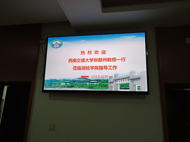
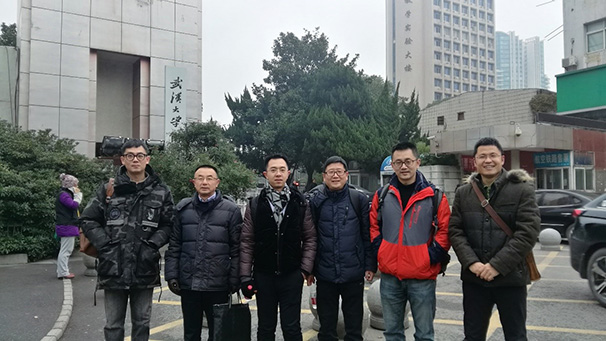
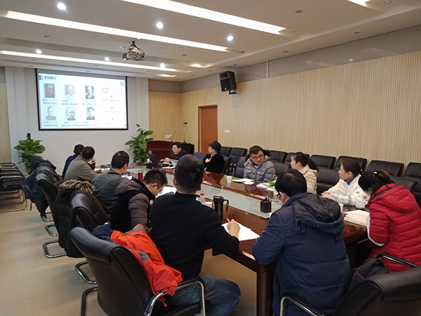
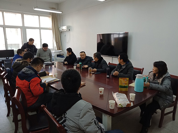
On December 11, 2018, The Professor Zhang Xianzhou, Associate Professor Ti Peng, Associate Professor Ye Yuanxin, Associate Professor You Wei, representatives of teachers Dr. Gao Shuzhao, Dr. Ye Jian and engineer Yuan Chengzhong, went to the Wuhan University of Surveying and Mapping conducted investigation and communication, and was warmly recepted by the School of Surveying and Mapping. At 9 o'clock in the morning, discussion was conducted on postgraduate teaching, undergraduate teaching, revision of undergraduate training programs, professional certification, laboratory management and construction of internship bases in the School of Surveying and Mapping. Later, the leaders and teachers communicated on various issues. After the discussion, our teachers visited the National Surveying and Mapping Experimental Teaching Demonstration Center of the School of Surveying and Mapping of Wuhan University.
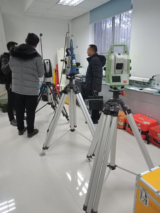
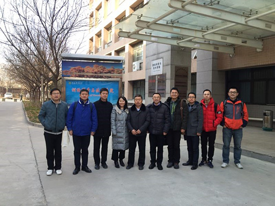
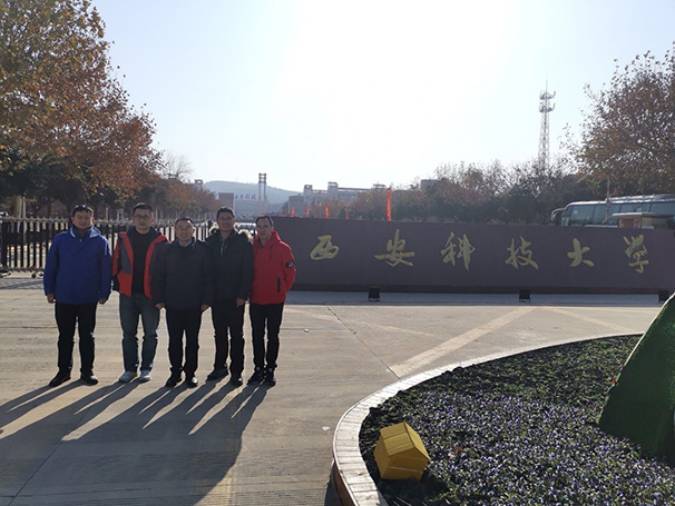
On December 12, 2018, The Professor Zhang Xianzhou, Professor Zhu Jun, Associate Professor You Wei, representatives of teachers Dr. Gao Shuzhao and Dr. Ye Jian went to the faculty of Surveying and Mapping Science and Technology of Xi'an University. At 10 o'clock in the morning, a discussion is conducted on the issues on the revision of the undergraduate training program, the preparation of professional certification, the construction of the laboratory and the internship base in the faculty of Surveying and Mapping Science and Technology of Xi'an University of Science and Technology. After the discussion, our teachers visited the navigation engineering laboratory, digital photogrammetry laboratory, mine surveying laboratory and topographic surveying laboratory.
The investigation in the two universities helps us to achieve an in-depth understanding the faculty of surveying and mapping of Wuhan University and the faculty of Surveying and Mapping Science and Technology of Xi'an University of Science and Technology, also gain valuable experience of the undergraduate training.