报告题目:Deep learning for photogrammetry and remote sensing
报告时间:2019年6月20日,下午14:00-16:00
报告地点:地学学院计算中心多功能室X4520
报告人简介:
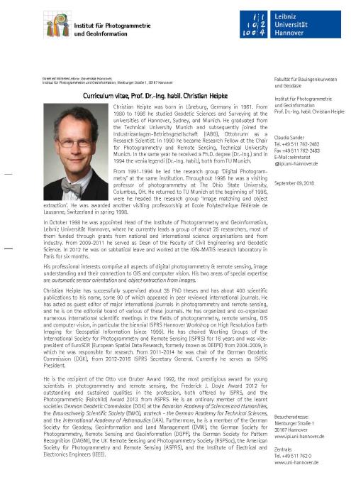
Christian Heipke
Institute of Photogrammetry and GeoInformation (IPI), Leibniz Universit?t Hannover
President, International Society for Photogrammetry and Remote Sensing
Prof. Dr. Christian Heipke is the recipient of the Otto von Gruber Award 1992, the most prestigious award for young scientists in photogrammetry and remote sensing, the Frederick J. Doyle Award 2012 for outstanding and sustained qualities in the profession, both offered by ISPRS, and the Photogrammetric (Fairchild) Award 2013 from ASPRS. He is an ordinary member of the learnt societies German Geodetic Commission (DGK) at the Bavarian Academy of Sciences and Humanities, the Braunschweig Scientific Society (BWG), acatech - the German Academy for Technical Sciences, and the International Academy of Astronautics (IAA). Furthermore, he is a member of the German Society for Geodesy, Geoinformation and Land Management (DVW), the German Society for Photogrammetry, Remote Sensing and Geoinformation (DGPF), the German Society for Pattern Recognition (DAGM), the UK Remote Sensing and Photogrammetry Society (RSPSoc), the American Society for Photogrammetry and Remote Sensing (ASPRS), and the Institute of Electrical and Electronics Engineers (IEEE).
内容简介:
In the last few years deep learning approaches, mainly based on convolutional neural networks (CNN) have had a stunning success for image analysis tasks like object classification, localisation and detection, and have reached similar results in related fields (speech recognition, natural language processing etc.). For example, so called “super human performance” has been reached in the classification and detection challenge ImageNet Large Scale Visual Recognition Challenge (ILSVRC) for everyday images depicting individual objects and terrestrial image sequences often acquired for assessing autonomous driving algorithms.
When considering the domain of remote sensing, a number of open questions remain. These include the transferability of the available approaches and pre-trained networks to for aerial and satellite images, for multi-temporal and multi-/hyperspectral or radar image analysis and for other data types such as 3D point clouds. Another issue is the need for a large amount of training data which may not always be available, and if so, may contain gross errors.
This presentation will assess the state-of-the-art in deep learning for aerial and satellite image analysis and will point out the potential and limitations of this promising technique as well as some directions for future research.

Christian Heipke
X4520